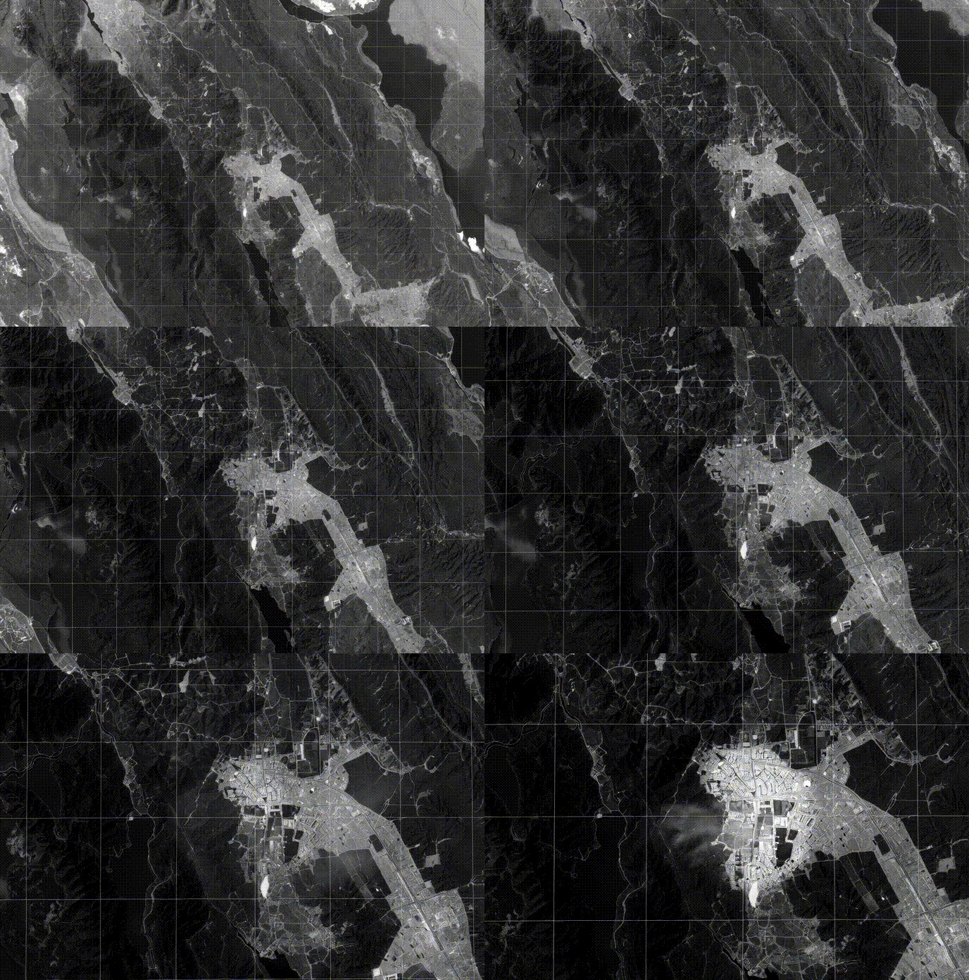

Transforming geospatial analysis with cutting-edge automation and precision
Traditional geospatial analysis is slow, labor-intensive, and prone to errors. Discover how automation is revolutionizing spatial data processing.
Learn more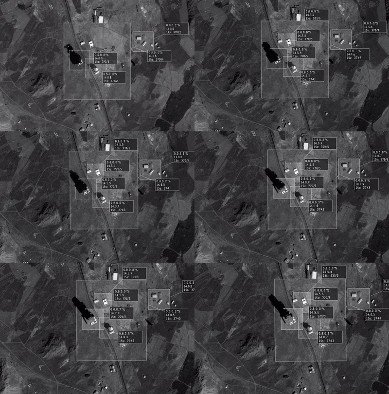
Automated object detection and coordinate calculations using YOLO algorithms for enhanced accuracy and scalability.
Discover more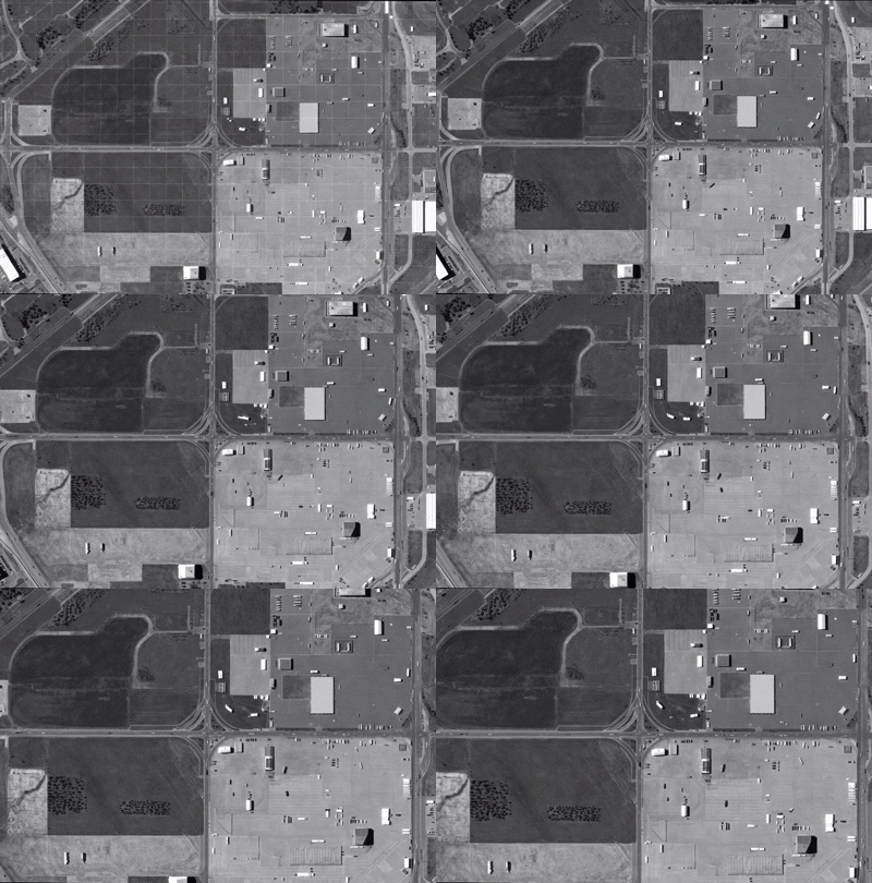
Extract geographic coordinates from satellite images using advanced transformations and object detection techniques.
Explore methodology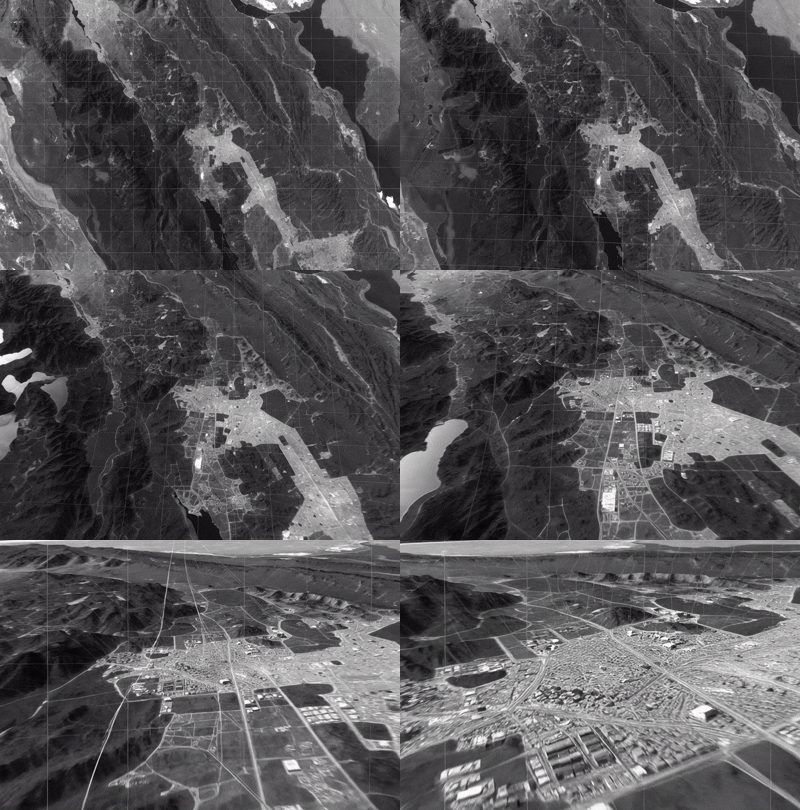
Improving efficiency, accuracy, and scalability across diverse applications in geospatial research.
Read moreGet started with InferenceVision in minutes
git clone https://github.com/doguilmak/InferenceVision.git
cd InferenceVision
pip install -r requirements.txt
from inference_vision import InferenceVision
     inference = InferenceVision()
     inference.process_image()